
Professional Drone Services Of Texas
Photography, 118 Vintage Park BLVD, Houston, Texas, 77070, United States, 1-10 Employees
Who is PROFESSIONAL DRONE SERVICES OF TEXAS
Professional Drone Services of Texas offers aerial photography, aerial video, thermal imaging, 3D mapping and other aerial imaging solutions in the Houston, Dallas, Austin, San Antonio, S...
Read More
-
 Headquarters: 118 Vintage Park BLVD, Houston, Texas, 77070, United States
-
 Date Founded: 2017
-
 Employees: 1-10
-
 Revenue: Under $1 Million
-
 Active Tech Stack: See technologies
![]() Industry: Photography
Industry: Photography
![]() Does something look wrong? Fix it. | View contact records from PROFESSIONAL DRONE SERVICES OF TEXAS
Does something look wrong? Fix it. | View contact records from PROFESSIONAL DRONE SERVICES OF TEXAS
Professional Drone Services of Texas Org Chart and Mapping


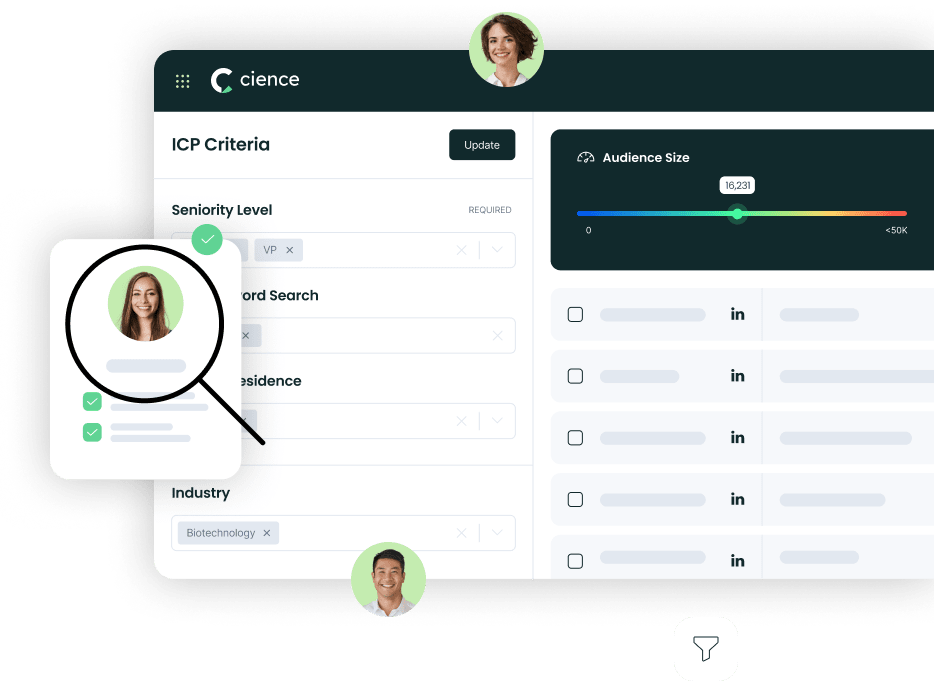
Sign in to CIENCE GO Data to uncover contact details
![]() Free credits every month
Free credits every month
Frequently Asked Questions Regarding Professional Drone Services of Texas
Answer: Professional Drone Services of Texas's headquarters are located at 118 Vintage Park BLVD, Houston, Texas, 77070, United States
Answer: Professional Drone Services of Texas's official website is https://droneservicestx.com
Answer: Professional Drone Services of Texas's revenue is Under $1 Million
Answer: Professional Drone Services of Texas has 1-10 employees
Answer: Professional Drone Services of Texas is in Photography
Answer: Professional Drone Services of Texas contact info: Phone number: Website: https://droneservicestx.com
Answer: Professional Drone Services of Texas offers aerial photography, aerial video, thermal imaging, 3D mapping and other aerial imaging solutions in the Houston, Dallas, Austin, San Antonio, Statewide Our services are fast, affordable and industry-specific, with easily accessible and downloadable files available within 2 days (usually less)! Our powerful drone and UAV mapping software allows us to process, analyze and share your data for a fraction of the cost of traditional methods. Specifically, PDS offers aerial photography and aerial mapping solutions for businesses looking to boost profits, improve safety and efficiency and up their competitive edge! In addition to aerial photography and aerial imaging services, we offer 3D aerial mapping, visual inspections, vertical inspections and property inspections, roof inspections (thermal imaging). Industries served include Commercial and Residential Real Estate, Telecom, Construction, Oil & Gas, Public Safety/First-Responders/Law Enforcement, Agriculture and Golf Courses. Other applications include Business Marketing, Event Promotion, Weddings/Engagement Announcements, Search-and-Rescue Missions.
Premium Sales Data for Prospecting
-

Sales data across over 200M records
-
Up-to-date records (less decayed data)
-
Accurate Email Lists (real-world tested)
-
Powerful search engine and intuitive interface
Powered by
Sign in to CIENCE GO Data to uncover contact details
![]() Free credits every month
Free credits every month